Rural Routes
Ra | Rb | Rc | Rd | Re | Rf
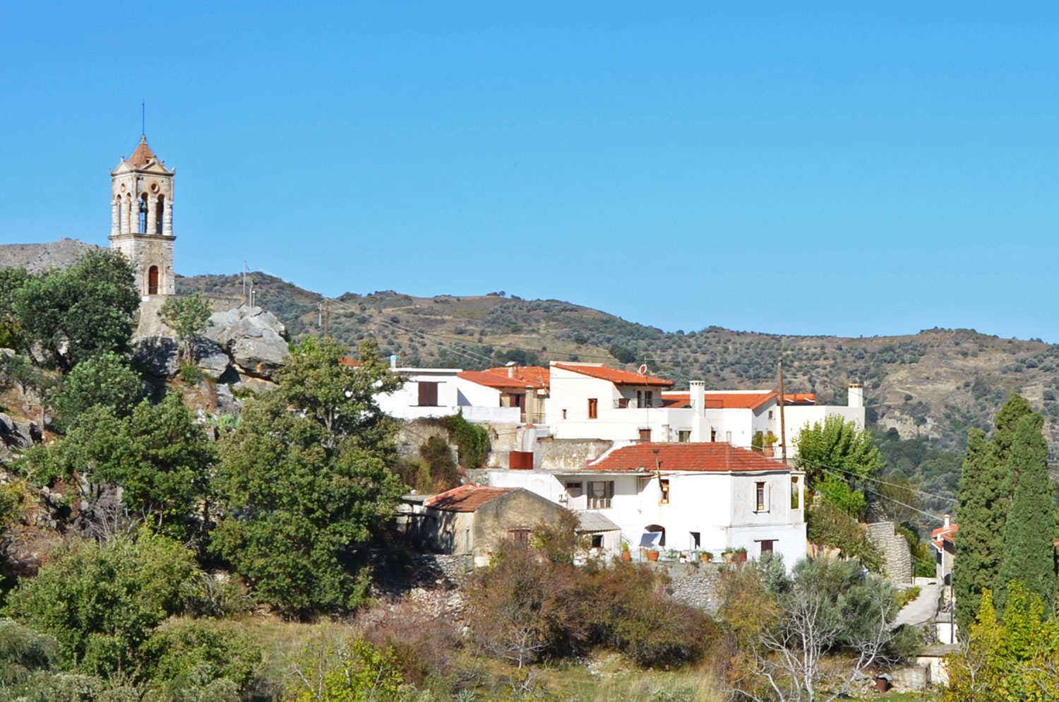
The rural routes run east of the camp between Meronas, Amari, and the Asomathianos Valley. For hiking and cycling, the primary routes are agricultural dirt roads. In locations where bike riding is impractical, more accessible routes circumvent the challenging sections.
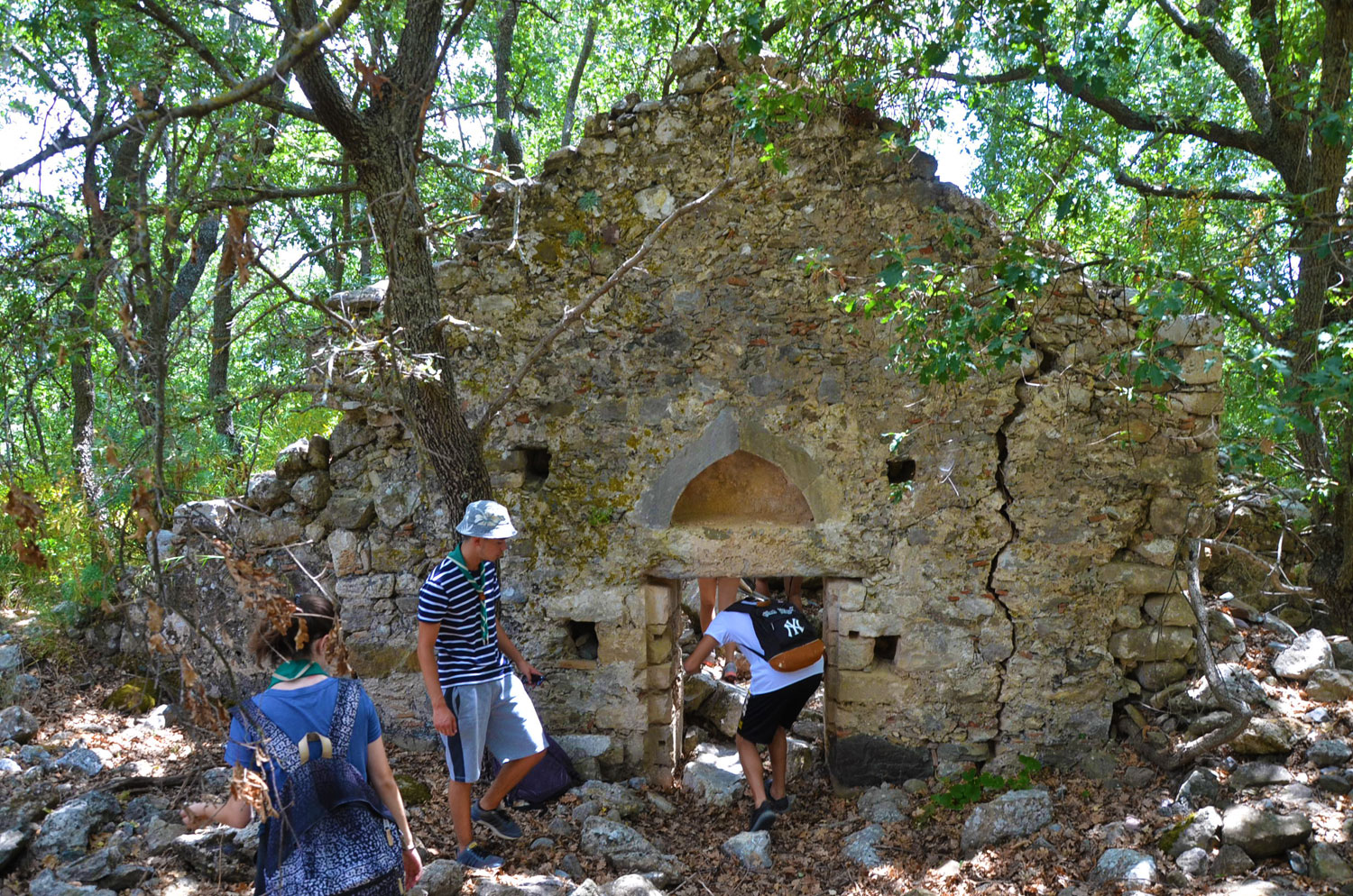
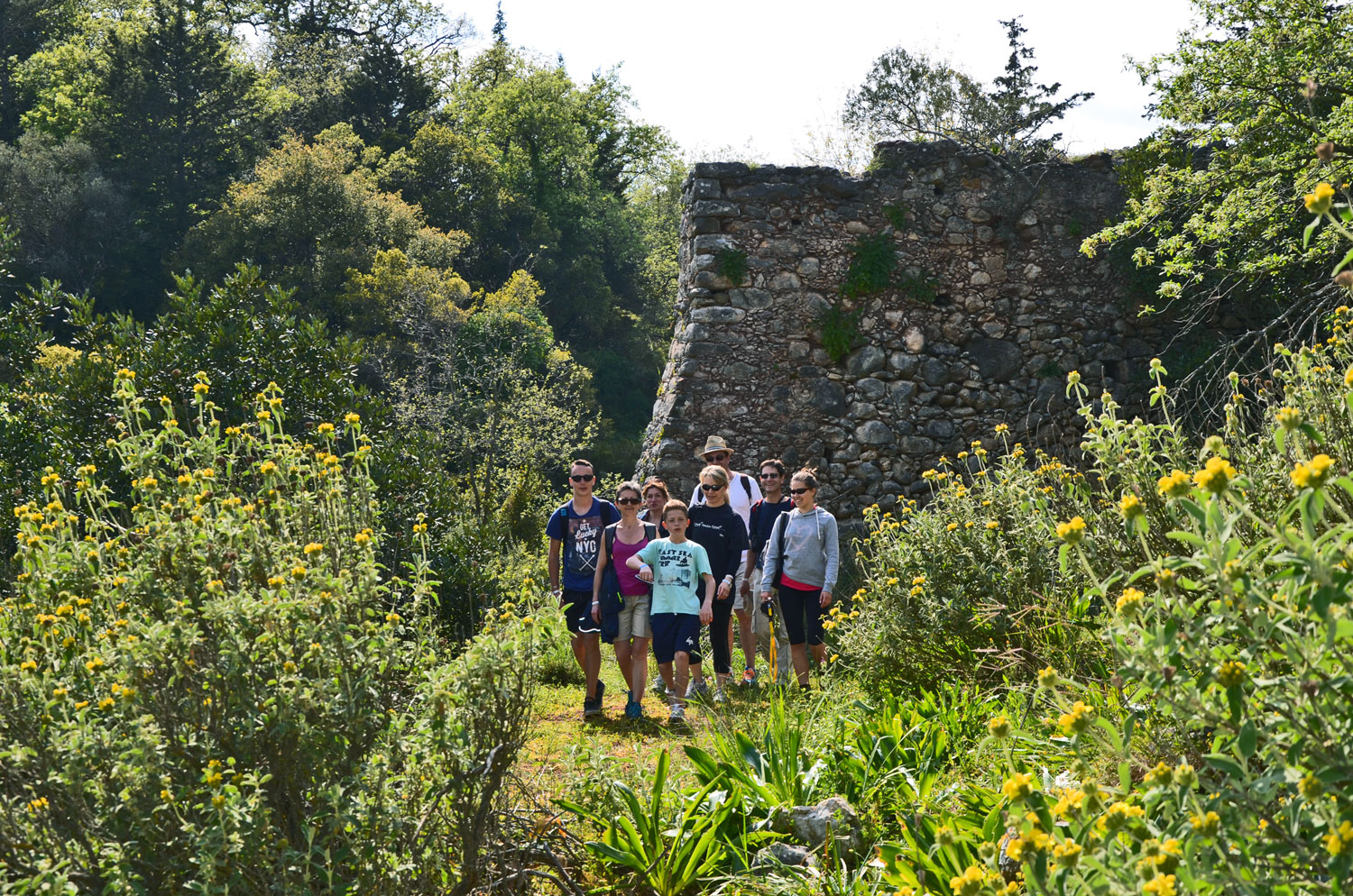
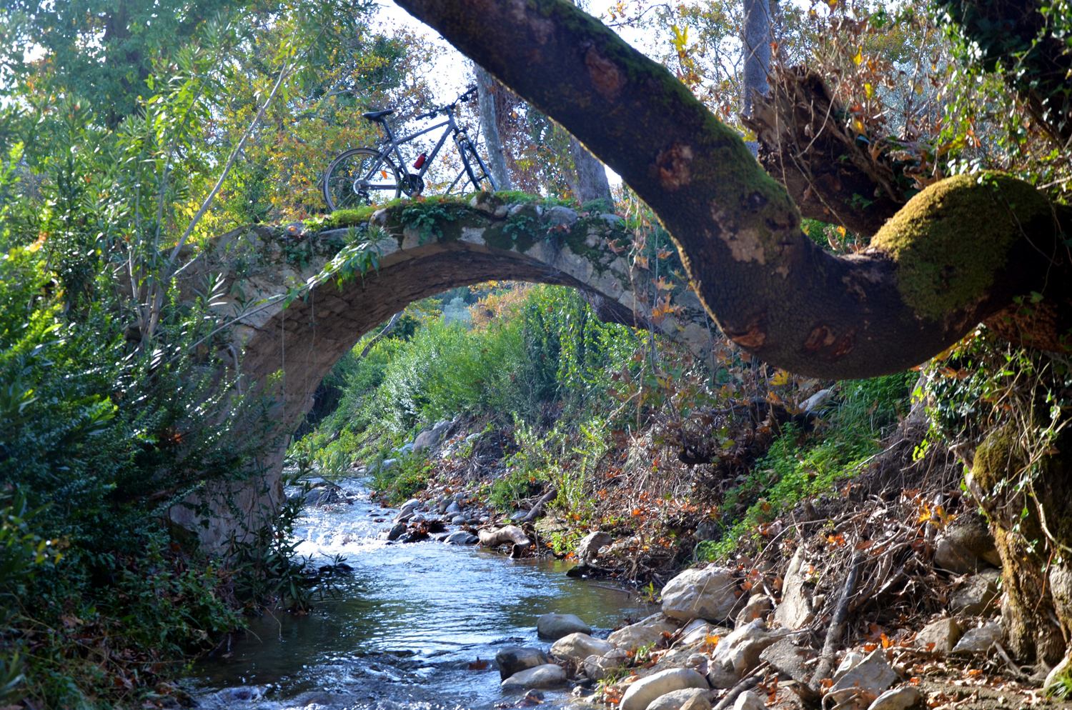
There are six routes in total, traversing areas with agricultural crops (olive groves, orchards, vineyards, and fruit gardens), as well as uncultivated lands with dense clusters of oak, cypress, and plane trees.
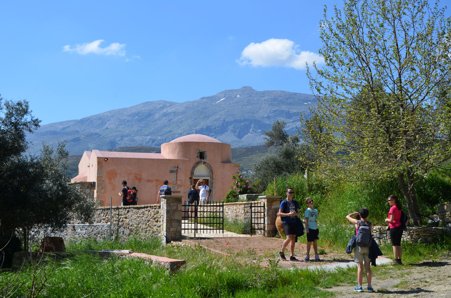
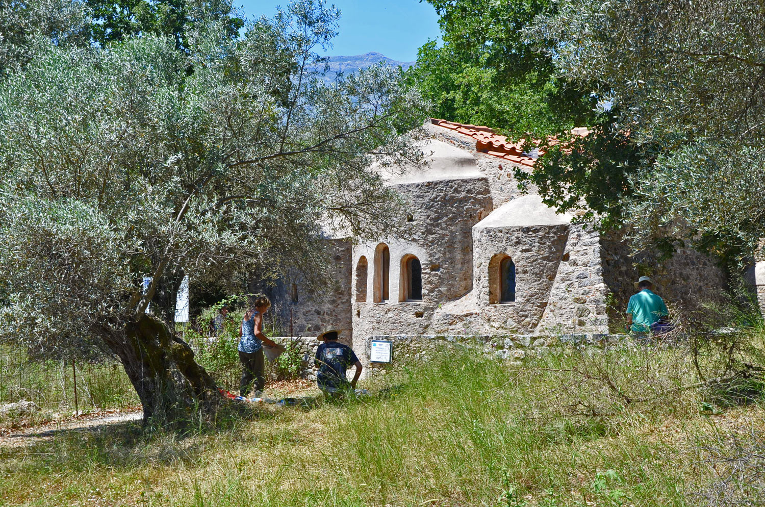
Along the routes are notable cultural landmarks, including numerous old churches dating back to the 13th and 14th centuries.
The difficulty level for hiking trails ranges from easy to difficult. In the case of cycling, the corresponding difficulty level depends on your experience and physical condition.
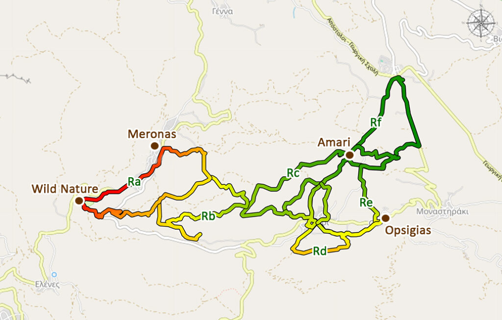
Ra Route
Camp – Agios Antonios – Meronas
Hover over the image for a quick preview
Ra route will take you through the most lovely countryside around Meronas. Even better, if it is combined with route Rb, it … Show more
Ra Route Map
Rb Route
Nature & Culture Connectore Route
Hover over the image for a quick preview
Route Rb is an extension of the Ra route towards the east. It leads you into remote areas with dense vegetation and offers the … Show more
Rb Route Map
Rc Route
Agios Georgios – Panagia Kera – Amari
Hover over the image for a quick preview
The Rc Route invites you on a unique journey through endless olive groves, revealing stunning Byzantine churches along the … Show more
Rc Route Map
Rd Route
Amari – Opsigias – Amari
Hover over the image for a quick preview
The Rd Route leads you through the rural outskirts of Amari, winding its way among dense oak forests and ancient olive … Show more
Rd Route Map
Re Route
Amari – Opsigias – Panagia Kera – Amari
Hover over the image for a quick preview
The Re Route is one of the most interesting and beautiful routes that can be undertaken in the Amari region. It is a northern … Show more
Re Route Map
Rf Route
On the Paths of Amari’s Hidden Treasures
Hover over the image for a quick preview
Route Rf forms part of route Re, northeast of Amari, concentrating within a short 2 km stretch most of the characteristic points of … Show more