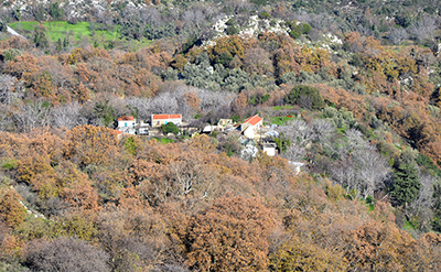
Self-guided hiking tours
Explore and enjoy Amari’s nature in total freedom
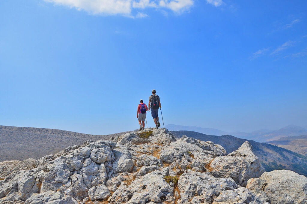
Are you a resident of Wild Nature Eco Lodge Camp and looking for great self-guided hiking tours in Amari? With 60 wonderful routes totaling 330 km, we have taken care of this by creating a complete digital hiking guide for Amari. From this guide, we selected 12 wonderful routes that vary in interest and degree of difficulty, and we offer them to you for free.
Thus, select the path that best fits your skills from the list that shows on the following pages, then use your mobile device to access the relevant web page. Please keep in mind that in order to enter, you must first inquire at the camp’s reception desk for the appropriate password. The route will then be shown on a comprehensive map on your mobile device, complete with geolocation tags (yellow pins) that provide accurate route guidance.
Display the route on Google maps
Map display. Initially the route will appear on Google Maps.
Once the page is open (assuming a network is available, of course), click the symbol ![]() in the top right corner of the map. You will instantly see your location (blue dot
in the top right corner of the map. You will instantly see your location (blue dot ![]() ) on or close to the hiking trail.
) on or close to the hiking trail.
Markers. Similar to a simplified road book, the map’s markers ![]() (orange pins), provide information and directions for the route. The content will show up when you click on them.
(orange pins), provide information and directions for the route. The content will show up when you click on them.
Free download
You may also download the map in GPX or KML format and display it in the language of your choice (English, French, or Greek), either in Google Maps or in a similar application that does not require data or access to a telephone network, such as Garmin Explore, Gaia Gps, etc. In this case, make sure to download the map to the selected application before leaving a location with internet connection.
The number of routes you can free download depends on how many days you stay at the campsite. You are entitled to one free of charge route for each day of stay.
Offline GPS applications
For your convenience, here are some links to download helpful apps that don’t require data or internet connection:
Garmin Explore ![]() | All Trails
| All Trails ![]() | Geo Tracker
| Geo Tracker ![]() | Gaia GPS
| Gaia GPS ![]()
The Gaia Gps and All Trails apps are also compatible with PCs, so you can edit the route directly on your computer. For those who are not as familiar with Gps apps, All Trails and Geo Tracker options are simpler to use.
Gorge Hiking
01 | Route Α-01
Hover over the image for a quick overview
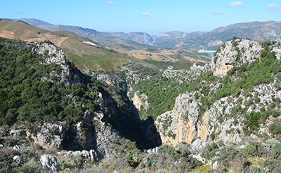
Hiking through Patsos Gorge
02 | Route Α-02
Hover over the image for a quick overview
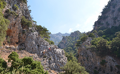
Platania Gorge Hike
03 | Route Α-03
Hover over the image for a quick overview
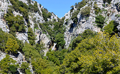
Agia Fotia Gorge Hike
Hiking on Mount Psiloritis
04 | Route B-01
Hover over the image for a quick overview
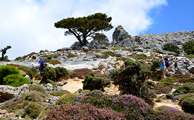
Hiking to Korakia Peak
05 | Route B-02
Hover over the image for a quick overview
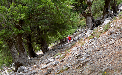
Fourfouras – Toumbotos Prinos
06 | Route B-03
Hover over the image for a quick overview
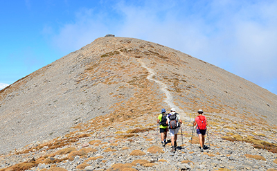
Toumbotos Prinos – Timios Stavros
Hiking in the mountains of Western Amari
07 | Route C-01
Hover over the image for a quick overview
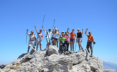
Climbing Mount Kedros
08 | Route C-02
Hover over the image for a quick overview
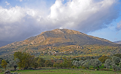
Climbing Mount Samitos
09 | Route C-03
Hover over the image for a quick overview
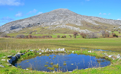
Climbing Mount Soros
Hiking at low altitude
10 | Route D-01
Hover over the image for a quick overview
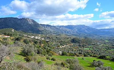
Hiking in the ancient Syvritos
11 | Route D-02
Hover over the image for a quick overview
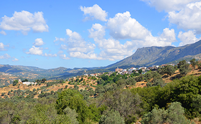
Hiking around Fourfouras
12 | Route D-03
Hover over the image for a quick overview
