Create Your Own Route
Custom Route Planner
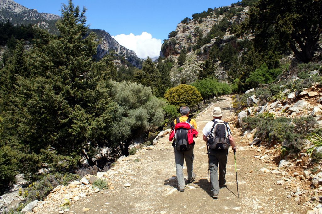
Our Tailor-Made Routes service offers a unique opportunity to design your ideal hiking or cycling adventure together with the experienced Wild Nature team.
This complimentary service is available exclusively to guests of Wild Nature Eco Lodge Camp. To access the route-planning website, please ask the reception team at Camp Wild Nature Eco Lodge for the access password.
At our Info Point, you will work side by side with a local outdoor specialist to create a route that matches your interests, fitness level, available time, and personal goals. Whether you are searching for hidden beaches, remote mountain villages, spectacular gorges, scenic cycling roads, or little-known natural landmarks, we help transform your ideas into a practical and reliable route.
Unlike many routes found online, each itinerary is carefully reviewed using local knowledge, field experience, mapping resources, and current trail conditions. The result is a personalized GPX track designed specifically for you.
Using Your Route
After your personalized route has been created at the Wild Nature Info Point, the GPX file can be transferred directly to your smartphone or GPS device for immediate use in the field.
The most direct way, if you do not have a suitable app installed, is to open the route in Google Maps.
Viewing Your Route Offline
To ensure independence from network coverage and mobile data, your route can also be followed offline.
Although the appearance may vary slightly from one application to another, your route will be displayed in much the same way as in Google Maps, including all waypoints and points of interest added during the planning process, as well as key route information such as distance, elevation gain, and elevation profile.
The use of high-quality mapping and topographic data, including OpenTopoMap resources, helps provide the most accurate possible representation of terrain and elevation features along the route.
Helpful Navigation Apps
For your convenience, here are some useful applications that support offline maps and navigation, allowing you to use pre-downloaded routes even without an active internet connection:
Garmin Explore ![]() | All Trails
| All Trails ![]() | Geo Tracker
| Geo Tracker ![]() | Gaia GPS
| Gaia GPS![]()
The Google Maps can also be used offline after downloading a selected area in advance. It is particularly useful for general orientation and everyday navigation, while also providing basic location tracking during outdoor activities.
For more specialized hiking and cycling use, dedicated outdoor navigation apps such as Gaia GPS, Garmin Explore, AllTrails, and Geo Tracker offer full support for GPX routes, elevation profiles, and trail-based navigation.
Both Gaia GPS and AllTrails also provide web platforms, allowing you to plan and edit routes on your computer before transferring them to your mobile device.
For users less familiar with GPS navigation tools, AllTrails and Geo Tracker offer simpler and more intuitive interfaces.