Itinéraires en montagne
Le réseau de sentiers de montagne s’étend au nord et au sud du Wild Nature Eco Lodge Camp, le long des pentes et du sommet d’Agio Pnevma, à travers la zone boisée de Prines, ainsi que sur la crête de Koupos.
Les itinéraires de randonnée empruntent principalement des chemins ruraux en terre, des sentiers pédestres et, très souvent, des traces de chèvres bien marquées. Les parcours cyclables suivent de la même manière des routes en terre et de larges chemins naturels.
La majorité des zones traversées est de caractère pastoral, avec des dizaines de troupeaux de moutons et de chèvres paissant librement sur les pentes et dans les prairies.
Le niveau de difficulté des randonnées varie de facile à exigeant. Pour le cyclisme, le degré de difficulté dépend de l’expérience du pratiquant et de sa condition physique.
Carte des itinéraires

Itinéraire Ma
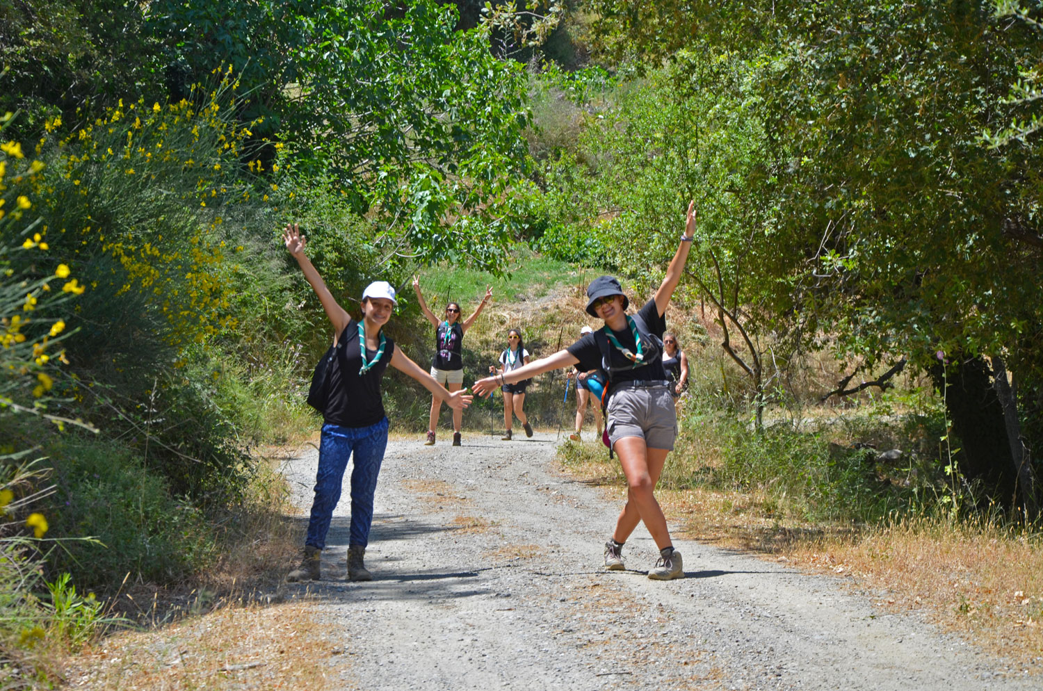
Éco Lodge - Chênaie de Prinés - Éco Lodge
Passez la souris sur l'image pour un aperçu rapide.
Découvrez la beauté paisible de la chênaie de Prinés à travers ce sentier enchanteur, qui vous mène jusqu’à la pittoresque ... En savoir plus
Ma Carte de la route
Itinéraire Mb
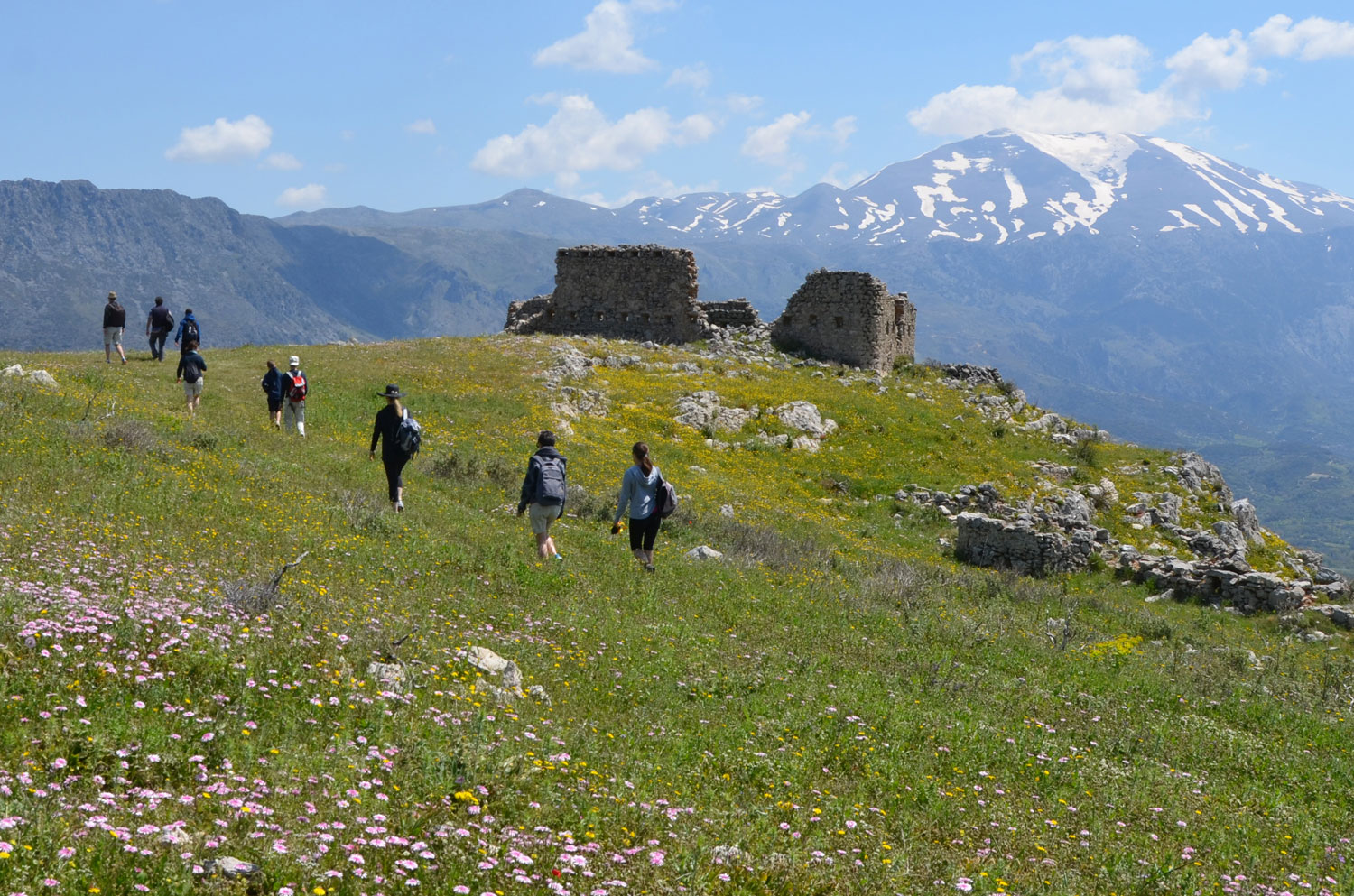
Éco Lodge - Fortin de Koulés - Meronas - Éco Lodge
Passez la souris sur l'image pour un aperçu rapide.
Une promenade charmante et immersive autour des environs de Meronas, alliant la découverte de la nature environnante à celle ... En savoir plus
Mb Carte de la route
Itinéraire Mc
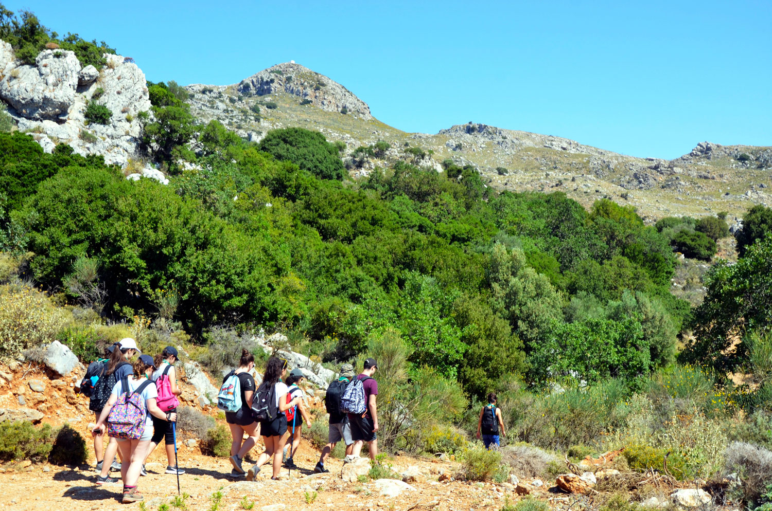
Ascension du sommet Agio Pnevma au départ de l'Éco Lodge
Passez la souris sur l'image pour un aperçu rapide.
Mc route is to climb Agio Pnevma peak. A stunning mountain hike not to be missed! Even if it is one of the most demanding … En savoir plus
Mc Carte de la route
Itinéraire Md
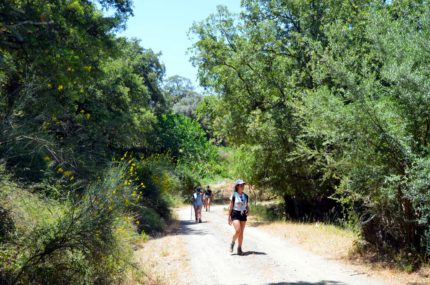
Sommet d’ Agio Pnevma - Chênaie de Prinés - Éco Lodge
Passez la souris sur l'image pour un aperçu rapide.
L’itinéraire Md constitue le chemin le plus court pour rejoindre le camp après la descente du sommet d’Agio Pnevma ... En savoir plus
Md Carte de la route
Itinéraire Me
Sommet d’ Agio Pnevma - Fortin de Koulés - Meronas - Éco Lodge
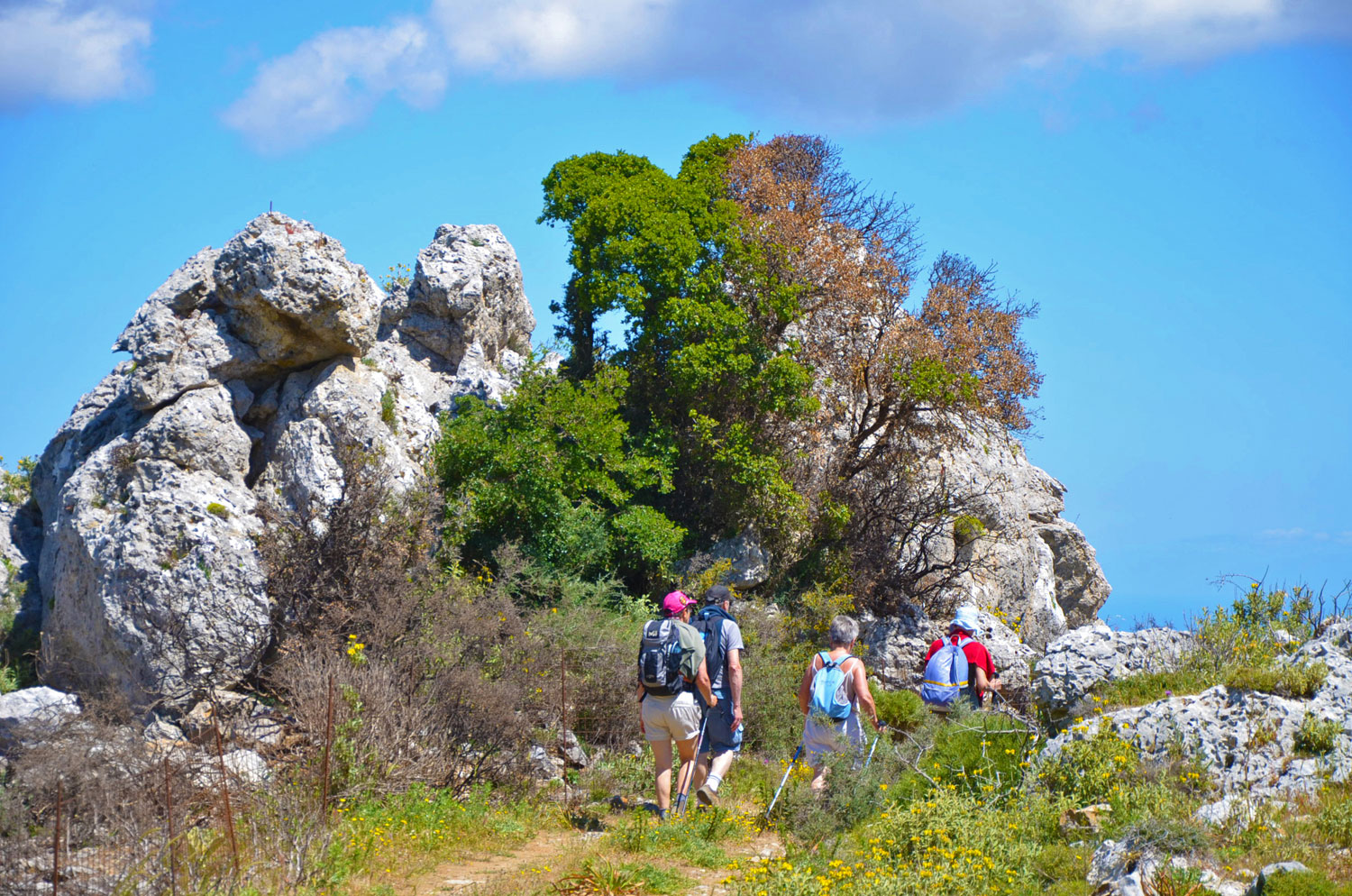
Passez la souris sur l'image pour un aperçu rapide.
Cet itinéraire est particulièrement agréable en avril et en mai, lorsque le printemps est à son apogée. Le sentier traverse des ... En savoir plus
Me Carte de la route
Itinéraire Mf
Éco Lodge - Chênaie de Prinès - Crête de Koupos - Amari
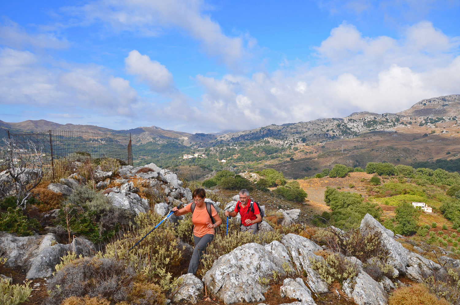
Passez la souris sur l'image pour un aperçu rapide.
Mf is a challenging and demanding route, primarily due to its rocky and rugged terrain. It is intended exclusively for … En savoir plus
